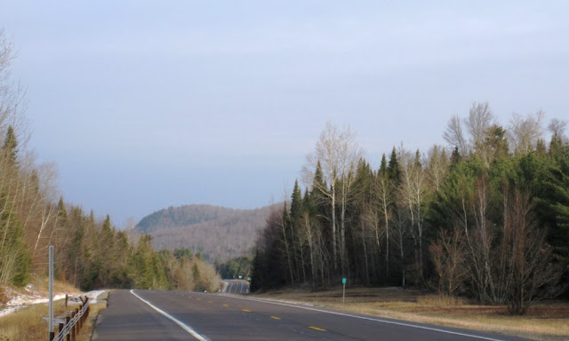
I was on my way home with the dogs from a weekend stay at the farm. We began the journey on Port Kent Road which became Red Tavern Road, part of the historic Port Kent Hopkinton Turnpike. But when we arrived at Route 30, I turned south on the highway because to continue on the Port Kent Hopkinton Turnpike would have involved seasonal, unplowed roads. Besides, Route 30 had plenty of its own gorgeous scenery along the way:
The wetlands of the Deer River Flow abutted Route 30 in many places:
All the snow had melted the day before, leaving an autumn-like golden hue to the water's edge. There was so little traffic on Route 30 that I was able to stop anywhere on the shoulder of the road to snap pictures:
The Adirondacks has much real wilderness which can only be accessed by hiking or canoe, but it also has much "almost wilderness" which can be viewed from the comfort of one's car:
And even in these relatively flat sections of the Adirondacks, there were almost always mountains in the background:
More glorious wetlands, part of the Deer River Flow:
And I stopped briefly at Barnham Pond, whose shoreline laps the shoulder of Route 30 just north of Paul Smith's, a sort of combination college and town:
This was a December morning but the waters were not yet frozen over:
But then I turned southeast on Route 86 toward Route 73 and entered the high peaks region:
The scenery was glorious and we were just north of the towns of Ray Brook and Lake Placid. But I'll post more about Ray Brook tomorrow:


No comments:
Post a Comment
Note: Only a member of this blog may post a comment.