Showing posts with label Schoharie Valley. Show all posts

Sunday, January 29, 2012

Hiking Vroman's Nose, Part 5

The dogs and I were on our way down the side of Vroman's Nose. I'd seen some incredible scenic views from the rocky crags atop the mountain but now it was time to go home:

I love this picture because it shows the dogs running for joy with Fergus' ears flopping:

There were moss covered logs on the forest floor which silently collected tiny bits of snow which fell from above. These were not snow "flakes" but small grains similar to what I've heard called corn snow:

The woods were silent when the dogs held still for a moment:

But then the rustling of oak leaves and the huffing of "dog laughter" once again filled the air:

The Vroman's Nose trail is a loop and we soon arrived back at the junction:

I put the dogs back on their leashes when we hit the farm fields and it was a good thing I did as a family was just beginning their ascent with two large dogs. Their dogs were on leashes. The big brown Pit-Bull type dog appeared friendly but the Dalmatian did not. I took a wide arc around them:

And back to my parked car. That's Line Creek, a tributary of the notorious Schoharie Creek, next to the road. There was still much evidence of terrible flooding left over from last August's Tropical Storm Irene:

I took a couple of photos of the local scenery as I drove away. This was a typical Schoharie Valley scene, though it was not Vroman's Nose:

I noticed a covered bridge just off the road and turned in to the parking area to take a closer look:

This, I learned, was the 115 foot long Fox Creek Bridge. It was not open for traffic so I parked and walked around and through it:

Right next to the covered bridge was the historic homestead of the Revolutionary War Colonel, Peter Vroman. I've searched the web to find out if Vroman's Nose was so named because he really had a nose shaped like that or just because it was near his home. But I could find no answer:

Saturday, January 28, 2012

Hiking Vroman's Nose, Part 4

We'd reached to top of Vroman's Nose, the dogs and I, and were traversing the trail which ran alarmingly close to the edge of the cliff. The dogs were on their leashes and told to "Heel.". I wasn't taking any chances:

When we reached a crest where I could see the other direction across the Schoharie Valley, I also saw a photographer setting up his equipment out on a ledge. Another photographer was nearby in the woods:

Both were young men who were friendly and liked the dogs, but I was really glad I had all four pooches on leashes. I could just imagine a tripod getting knocked off that ledge:

I can't be sure, but I think that's the town of Middleburgh, New York down in the valley:

And then the trail dropped down the mountain through the forest and I felt safe letting the dogs off their leashes again. I could see the valley floor through the trees as we made our descent:

The descent was quite steep in some places, more gentle in others. The dogs were happy and the scenery was grand:

I let the dogs run around and get some exercise as they checked everything out:

We dropped lower and lower:

And kept going down, with the valley visible through the trees in many places:

Seamus trotted on ahead but I insisted the youngsters stay closer:

The trail leveled out and the forest became comfortable, friendly and welcoming:

Daphne considered herself the main dog and made sure everybody was accounted for. We were almost to the trail head, but I'll post more about that tomorrow:

Friday, January 27, 2012

Hiking Vroman's Nose, Part 3

I was hiking to the top of Vroman's Nose, a small mountain in New York's Schoharie Valley, with my four youngest dogs. I put them on leashes when we'd arrived at the first cliff's edge and scenic overlook. Then we climbed higher to another and then, just ahead of us, I saw a rocky crag where I was sure there'd be a third cliff and scenic overlook:

And there certainly was. The houses and barns which had looked so very far beneath us at the beginning were by now looking downright minuscule, like toys:

Those picturesque, twisted evergreens growing all over the rocky cliffs were a mystery to me. I wanted to call them Junipers but they were not the Juniper one might grow in a front yard. They were different. They had bark much like an Eastern White Cedar but the needles were not the same. I looked them up when I got home and decided that they were Eastern Red Cedar which are, it turned out, a variety of Juniper. Or you might be happy just enjoying their beauty:

Just in case you've been thinking I was exaggerating about the dangerous steepness of those cliffs, here's a photo to change your mind:

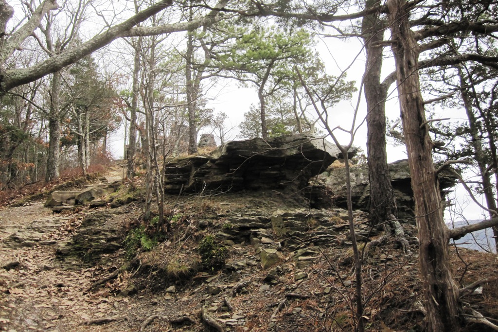
We kept hiking upwards and discovered yet a fourth rocky crag. This one had a little path right up through the bulky rocks:

And when I took that path I discovered a broad, flat expanse of rock. I've read that this is sometimes called the dance floor and it was actually much larger than it appears here:

I walked cautiously to the edge to take a look, keeping the dogs on their leashes and behind me:

Adventurous souls had been chiseling their initials into the rock of the dance floor for centuries. This one, with the initials of A.J.M., was chiseled in 1863:

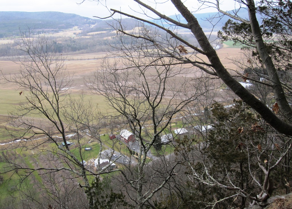
I timidly approached the edge to look down on the farms and barns I'd seen at the very first overlook. Yep, they were still there but getting smaller:
And the view through the Red Cedars out across the Schoharie Valley was grand:

But we had lots more trail to hike. As I began, I kept the dogs on their leases because, as you can plainly see, the trail was very close to the edge of the cliff:

I don't remember how this photo of Daphne without a leash got in this sequence, but here it is. She's a sweet little sprite who can brighten up any experience. But we still weren't finished with this hike. I'll post more tomorrow:

Thursday, January 26, 2012

Hiking Vroman's Nose, Part 2

I could tell that we were getting near the top of Vroman's Nose, but there hadn't been any scenic overlooks so far. But Clover and Daphne dashed about through the forest and the oak leaves like two little woodland elves. They were having a magnificent time:

Daphne runs up to me every few minutes to look up and see if she can get me to be more fun - and also to be sure I'm still happy with everything:

We were withing a few feet of a cliff and I was wondering if I'd better put the dogs on their leashes:

Aack!!! I quickly put the dogs on their leashes:

From this, the first of many scenic overlooks, I could see out over the Schoharie Valley to the mountains beyond:

Looking at the farms and barns in the Schoharie Valley below felt as if I was in an airplane looking down:

But wait, there's more! We continued to climb up to the next rocky crag where I felt sure there'd be more views:

And indeed there were - farm fields neatly squared and trimmed, with mountains just behind them:

That river is Schoharie Creek, not very impressive most of the year but a flooding, raging torrent many times in the spring melt. It's the Schoharie Creek which took down two bridge spans of the New York Thruway and just this past August took down a covered bridge after Tropical Storm Irene:

But the scene on that day was all pastoral loveliness and calmness, at least as long as I had the dogs on their leashes. But we weren't to the top yet. I'll post more tomorrow:

Wednesday, January 25, 2012

Hiking Vroman's Nose, Part 1

A week had passed since my last trip up to the farm and it was Sunday morning. The weather was still unseasonably mild and I had a "hankering for hiking." So I loaded the four younger dogs into my car and headed from Albany west on I-88 to the Schoharie Valley:

I then drove a short distance south through the towns of Schoharie and Middleburgh until I reached a hill known as Vroman's Nose. I could find no spot where I could get a good long distance view of Vroman's Nose so I got this photo, obviously taken in summertime, off the Internet. Yes, it does look like a big nose:

We reached the trail head on the banks of Line Creek which clearly showed signs of extreme flooding back when Tropical Storm Irene went through the area. I parked, put the dogs on leashes and began up the hill:

The trail began by traversing a farm field and then entered the forest where it rose slowly uphill. There was no one else around so I took the dogs off their leashes:

The hillside was quite steep although the trail took us up obliquely to make the hiking easier. Just to the right of the trail the hill dropped off sharply to farm houses in the valley below:

It was amazing to find no snow in January, but that's what we found. Daphne was thrilled to be able to play in the oak leaves:

And then we entered into a White Pine forest:

The dogs explored everything, sniffing to their hearts' content:

When we came to a flat section I left the trail to go exploring and the dogs were more than happy to go with me:

And it wasn't long before I could see what looked to be a scenic overlook just ahead on the trail. Fergus posed for a photo near a bench which had been built to accommodate hikers:

"C'mon, Dad. Can't we go any faster?:"

The dogs and I enjoyed the brush-free, snow-free forest as we gained elevation. The views were just ahead, but I'll post more about that tomorrow: